Click on the Edit Content button to edit/add the content.

Precision. Performance. Innovation.

Explore The Future Of Aerial Intelligence

Discover advanced drone technology engineered for creators, professionals, and industries. Experience precision flight, intelligent automation, and cinematic performance built for modern aerial solutions.

Advanced Drone

Aerial solutions designed for precision, performance, and smarter operations.

Drone Inspection

Reliable aerial inspections designed for safer analysis and accurate visual assessments.

Survey & Mapping

Advanced aerial surveying solutions built for accurate data capture and project planning.

Featured Drone Collection

Explore Our Drone Lineup

Engineering Smarter Flight Experiences

We deliver intelligent aerial solutions powered by advanced drone technology.

Innovative Aerial Solutions

Explore our latest range of advanced drones designed for performance, precision, and real-world applications.

KAL Air X1

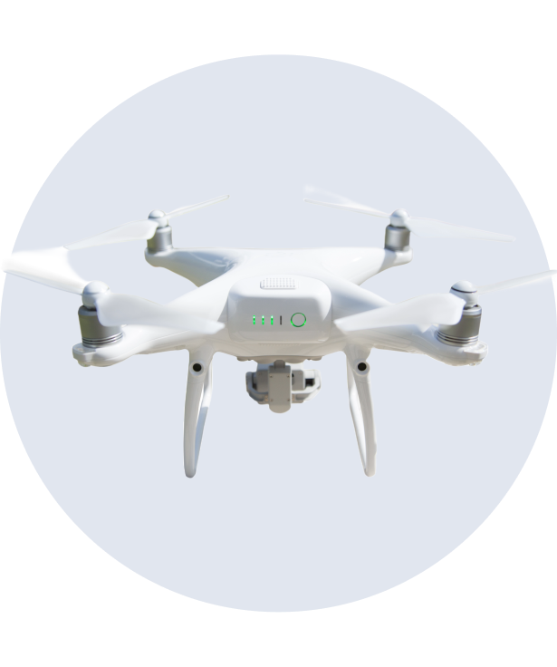
Compact aerial drone designed for everyday creators and travel photography.

KAL Vision Pro

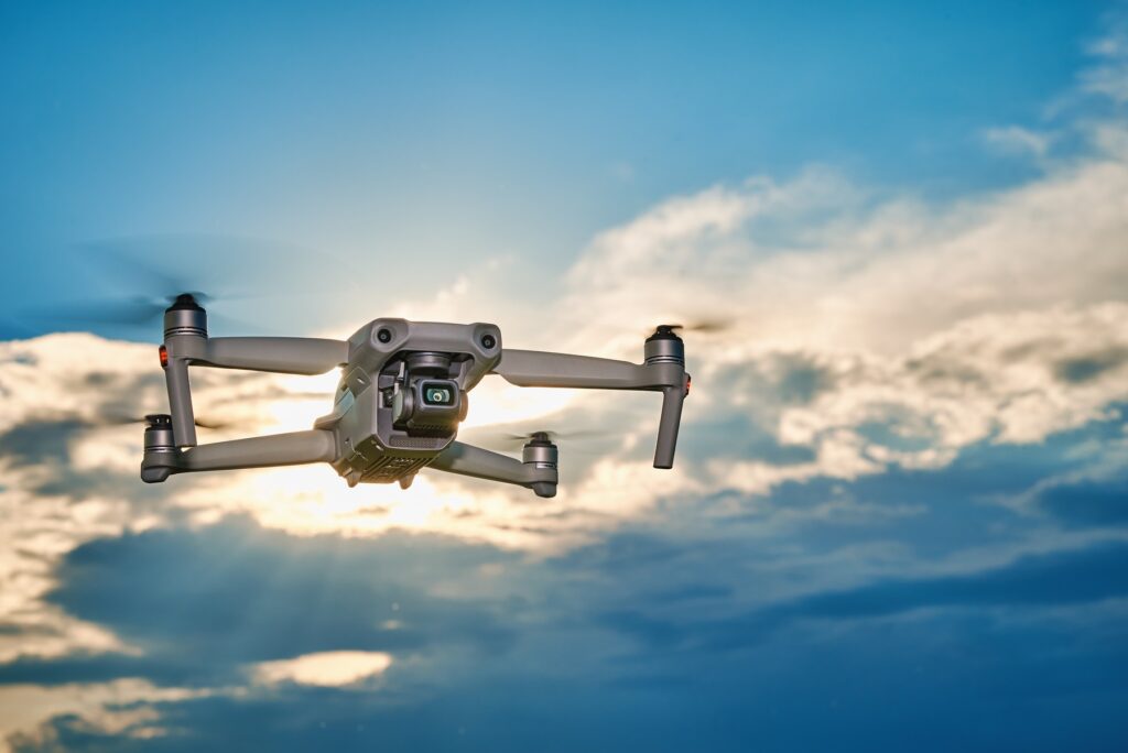
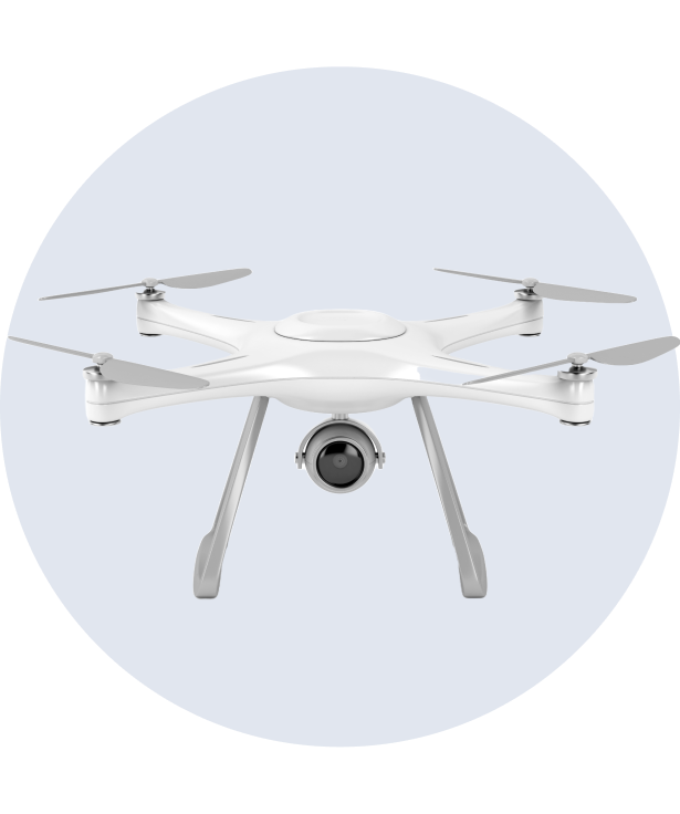
Professional camera drone built for cinematic shots and ultra-smooth stability.

KAL FPV Elite

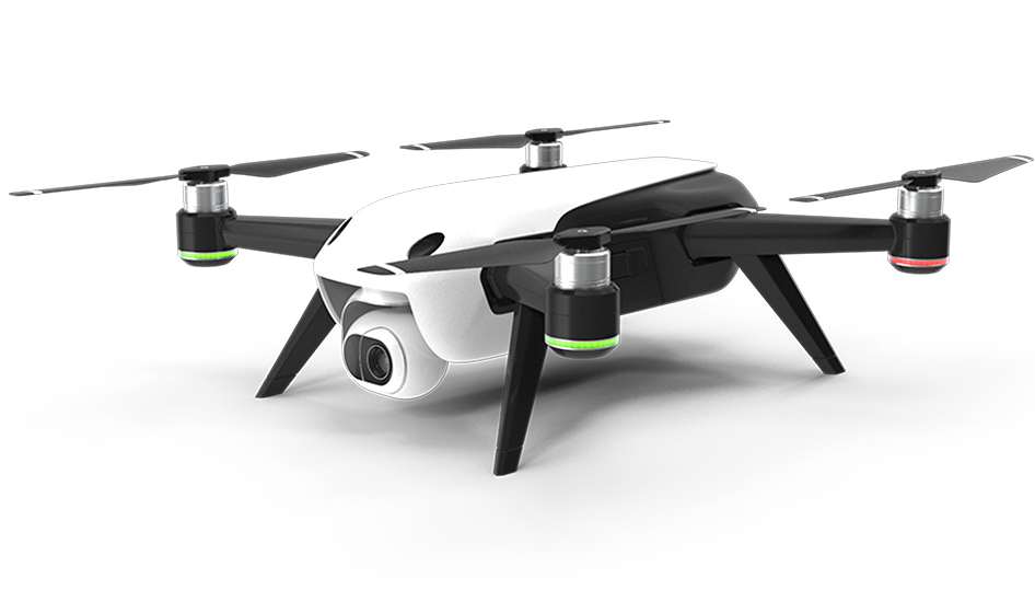
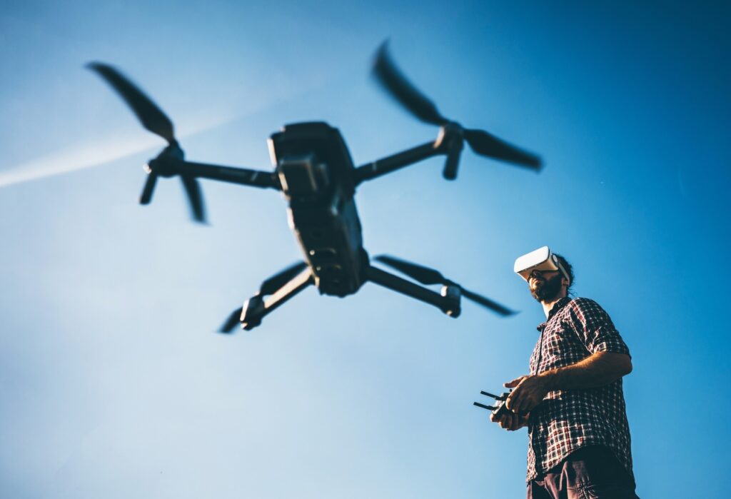
High-speed FPV drone offering immersive control and dynamic flight performance.

KAL Enterprise Drone

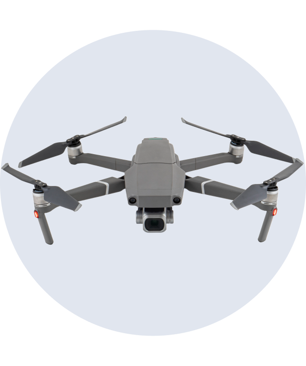
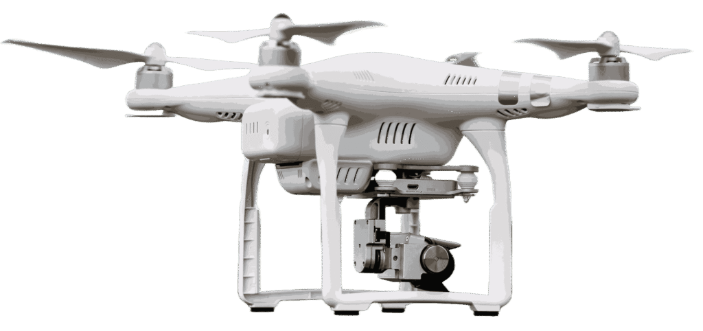
Industrial-grade drone developed for inspections, mapping, and surveillance.

Industry Projects
0 +

Successfully delivering advanced drone solutions across multiple industries with precision and reliability.

Mission Flights
0 K+

Extensive aerial operations completed with consistent performance and professional-grade execution.

Service Accuracy
0 %

Providing dependable drone services backed by precision technology and trusted operational standards.

Featured Drone Collection

Explore Our Advanced Drone Fleet

Dynamic Camera – 24 MP

Capture fast-paced action shots with immersive aerial performance.

FPV Recording – 4K 120fps

Ultra-smooth recording for cinematic FPV flying experiences.

High-Speed Flight – 30 min

Optimized for agility, speed, and responsive control.

Responsive Control – 7 km

Low-latency transmission for precision maneuvering and real-time control.

Smart Camera – 32 MP

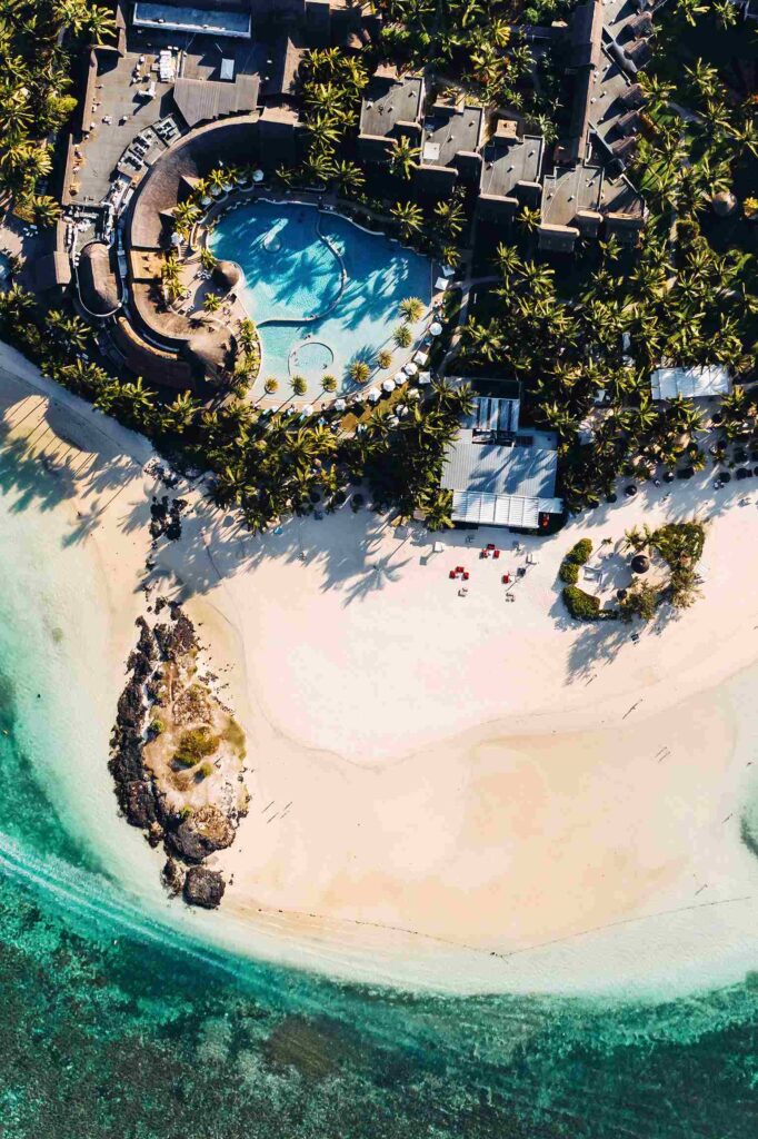
High-resolution aerial imaging optimized for travel, content creation, and dynamic visuals.

Video Capture – 4K HDR

Produce vibrant aerial footage with smooth motion and rich visual depth.

Flight Time – 34 min

Balanced battery efficiency for stable and extended flight performance.

Control Distance – 8 km

Strong signal transmission designed for reliable outdoor exploration.

Industrial Imaging – 50 MP

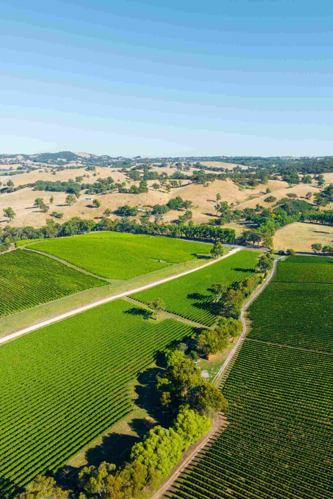
Designed for inspections, surveying, and precision mapping with detailed image output.

AI Video Tracking – 5.4K

Smart tracking system with stabilized recording for advanced drone performance.

Mission Flight Time – 42 min

Built for professional operations requiring longer aerial coverage.

Enterprise Range – 12 km

Extended operational range ideal for industrial and commercial applications.

Dynamic Camera – 24 MP

Capture fast-paced action shots with immersive aerial performance.

FPV Recording – 4K 120fps

Ultra-smooth recording for cinematic FPV flying experiences.

High-Speed Flight – 30 min

Optimized for agility, speed, and responsive control.

Responsive Control – 7 km

Low-latency transmission for precision maneuvering and real-time control.

latest project

Skydrone Projects

Yacht Festival 2024

AERIAL PHOTOGRAPHY - OCTOBER 19, 2024

Stunning aerial shots capturing the grandeur and excitement of luxury yachts in action

Luxury Resort Ad

AERIAL VIDEOGRAPHY - NOVEMBER 21, 2024

Captivating aerial videography showcasing exclusive beachfront and scenic resorts

Agricultural Land Mapping

LIVE MAPPING - DECEMBER 25, 2024

Precision mapping for farm management, crop health monitoring, and yield analysis

Aerial Experience

See Beyond The Horizon

The World From A New Perspective

Discover immersive drone visuals that capture precision, motion, and breathtaking angles through advanced aerial technology, delivering stunning perspectives across landscapes, architecture, and real-world environments.

Aerial Shots Captured
0 K+
Hours of Flight Time
0 K+
why choose us

Why Choose KINGJIMS AIR LIMITED

Smart Drone Systems

We use intelligent drone systems equipped with modern features for stable, efficient, and high-performance aerial operations.

Accurate Control

Delivering accurate aerial data, smooth visuals, and reliable results through advanced flight control and imaging systems.

Certified Expertise

Our experienced drone specialists ensure safe operations and professional execution across every project.

Reliable Support

From planning to final delivery, we provide dependable service and dedicated support for every mission.

We combine advanced drone technology, skilled expertise, and precision-driven solutions to deliver reliable aerial performance across industries.

pricing plan

Skydrone Pricing

Aerial Photography

Capture breathtaking aerial shots with high-quality photography

START FROM

$200

/project

Includes:

Aerial Videography

Create cinematic drone videos with high-resolution 4K footage for any use

START FROM

$325

/project

Includes:

Live Mapping

Generate accurate aerial maps and 3D models using drone imaging tools

START FROM

$245

/project

Includes:
our teams

Skydrone Pilots

Michael Carter

Lead Drone Pilot

Aerial Photography
90%
Aerial Videography
80%
Live Mapping
100%
Daniel Foster

Aerial Cinematographer

Aerial Photography
70%
Aerial Videography
98%
Live Mapping
80%
Ryan Mitchell

Flight Operations Specialist

Aerial Photography
70%
Aerial Videography
80%
Live Mapping
87%
James Walker

Drone Imaging Expert

Aerial Photography
99%
Aerial Videography
80%
Live Mapping
88%

Trusted By Industry Leaders

"Skydrone’s aerial shots transformed our project completely! The quality, precision, and cinematic feel truly made our visuals stand out."

James Carter
Creative Director

"Their drone service exceeded our expectations! The stunning aerial shots and smooth video footage brought our marketing campaign to life."

Emily Roberts
Marketing Manager

"Professional, skilled, and detail-oriented! Skydrone captured breathtaking aerial shots that enhanced the appeal of our real estate listings."

Daniel Foster
Real Estate Agent

"The drone footage exceeded our expectations. Every aerial shot was captured with, giving our project a premium and professional look."

Aarav Sharma

“Professional service, smooth coordination, and stunning aerial visuals. The team delivered high-quality drone coverage exactly as we envisioned."

Daniel Cooper

"Their drone technology and expertise brought a completely new perspective to our campaign. The final output was both cinematic and impactful"

Emily Roberts
book us

Skydrone Booking

Let’s Get Started

Elevate your visuals with professional drone shots—tell us your needs, and we’ll handle the rest