Click on the Edit Content button to edit/add the content.
Case Studies & Results
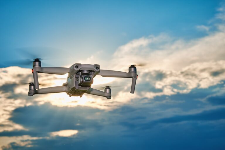
Real-World Drone Case Studies
Explore real-world case studies that demonstrate how drone technology improves project efficiency, monitoring, and decision-making across multiple industries. From construction and inspections to real estate and surveying, each case study highlights measurable results achieved through aerial solutions.From monitoring large-scale developments to capturing visual data for analysis, our case studies demonstrate the impact of drone solutions in real environments.
Our drone case studies showcase successful project execution supported by advanced imaging, accurate aerial data, and professional flight operations. Every result reflects how drone services help solve challenges, improve workflows, and deliver valuable project insights.
Through detailed aerial documentation and industry-specific applications, these case studies reveal how drone technology enhances visibility and operational performance. Each project outcome represents precision planning and reliable execution
Featured Case Highlights
Construction Progress
Improved site tracking with aerial progress updates and visual reporting for better construction project visibility and workflow efficiency.
Real Estate Coverage
Enhanced property presentation through professional drone visuals with cinematic aerial angles and clarity for stronger marketing impact.
Survey & Mapping
Delivered accurate land analysis and terrain mapping insights for efficient planning and development projects with reliable geographic accuracy.
Choosing the Right Drone for Your Needs
Drone Project Success Stories
Discover how drone technology has transformed projects through accurate aerial insights, improved monitoring, and efficient workflow management. Our case studies showcase real applications across industries where aerial solutions deliver measurable value.Through tailored drone strategies and professional flight expertise, we help clients achieve reliable results and improved project outcomes
Each project highlights how advanced drone operations support planning, inspections, mapping, and visual documentation. These results demonstrate how aerial technology improves decision-making while reducing time and operational effort.
From large-scale infrastructure monitoring to commercial aerial coverage, our case studies reveal the versatility of drone services across different environments. Every project reflects precision execution and industry-focused performance.