Click on the Edit Content button to edit/add the content.
Public Safety Solutions
Integrated Public Safety Solutions
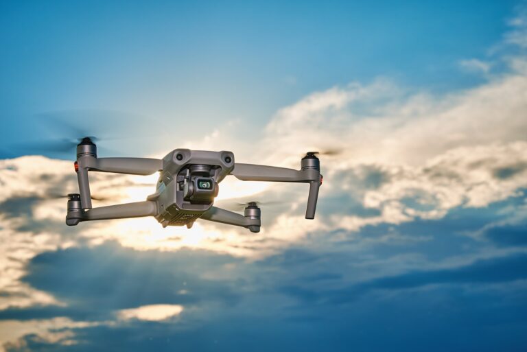
Public safety solutions use drone technology to improve monitoring, emergency response, and situational awareness across cities, events, and critical locations. Drones provide real-time aerial visibility that helps authorities observe large areas, monitor crowd movement, and assess incidents quickly. Their ability to reach difficult or high-risk environments supports faster response during emergencies and public safety operations.
Drone-based public safety solutions also assist with disaster assessment, traffic management, search operations, and infrastructure monitoring. High-resolution aerial imaging delivers accurate visual data that improves decision-making and coordination for emergency teams. These solutions enhance safety planning while helping organizations respond more effectively to changing situations and operational challenges.
Core Solution Advantages
Improve monitoring and operational efficiency.
Capture accurate aerial data quickly.
Reduce manual effort and risk.
Support faster project decisions.
Monitor large areas efficiently.
Enhance planning and management.
Why Choose Public Safety Solutions
Public safety solutions provide real-time aerial visibility that helps monitor public spaces, manage emergencies, and improve situational awareness. Drone technology allows authorities to quickly assess large areas, track incidents, and respond to changing conditions more efficiently. This reduces response time while improving safety management across urban environments, events, and critical locations.
Choosing drone-based public safety solutions also supports better coordination during emergencies and routine monitoring operations. High-resolution aerial data helps identify risks, monitor crowd activity, and assist with search and rescue efforts. These solutions improve decision-making, reduce manual monitoring effort, and enhance overall public safety planning and response capabilities.