Click on the Edit Content button to edit/add the content.
Aerial Photography Projects
Capturing Unique Aerial Perspectives
Aerial photography projects showcase how drone technology captures unique perspectives for real estate, construction, tourism, events, and commercial marketing. High-resolution aerial images provide a wider view of landscapes, properties, and large environments that traditional photography cannot easily achieve. Drone photography helps present locations with greater depth, scale, and visual impact.
From promotional campaigns to site documentation, aerial photography delivers clear and detailed visuals that support branding, planning, and project presentation. Drones can capture wide-angle shots, top-down perspectives, and dynamic compositions while maintaining image quality and accuracy. Each project demonstrates how aerial photography enhances storytelling and creates visually engaging content for different industries.
Aerial Photography Project Highlights
Inspection Accuracy
Capture detailed aerial visuals for precise inspections, helping identify structural issues and maintenance needs quickly.
Remote Asset Monitoring
Inspect rooftops, towers, pipelines, and industrial assets safely without requiring manual access.
Maintenance Planning
Provide reliable inspection data that supports preventive maintenance, faster reporting, and improved operational safety.
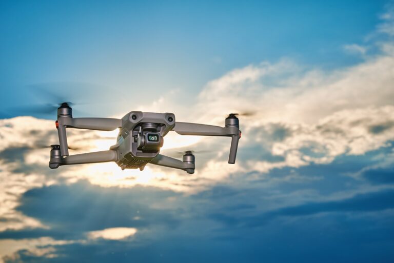
Choosing the Right Drone for Your Needs
Elevated Perspectives Through Drone Photography
Aerial photography projects highlight how drone technology captures detailed visuals from elevated perspectives for residential, commercial, and outdoor environments. Drone imagery provides a broader view of landscapes, architecture, and surrounding areas, helping showcase locations with greater clarity and visual appeal. These projects support marketing, documentation, and creative storytelling through high-quality aerial imagery.
Using advanced cameras and stabilized flight systems, drones deliver sharp photographs for real estate listings, construction updates, tourism promotion, and event coverage. Aerial photography helps present projects from unique angles while improving overall presentation quality. Each project demonstrates how drone visuals create engaging content that enhances communication and visual impact.