Click on the Edit Content button to edit/add the content.
Disaster Assessment & Monitoring
Professional Drone Service
Smart Disaster Assessment & Monitoring
Precision Disaster Assessment with Advanced Drone Technology
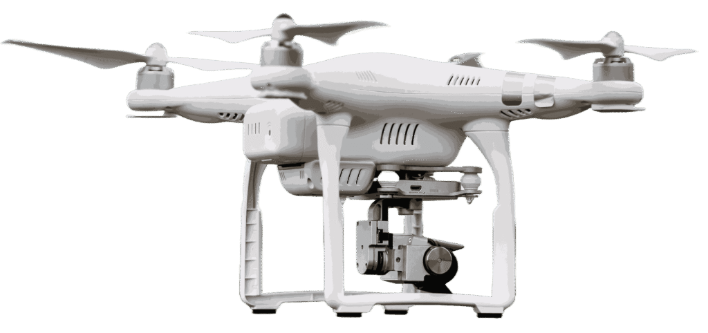
Disaster assessment drones provide rapid aerial monitoring for floods, storms, fires, and damaged areas. They help capture real-time visuals to assess impact, identify risks, and support emergency response planning. High-resolution imaging allows teams to evaluate affected regions safely and efficiently. This improves decision-making during critical situations.
With advanced drone technology, disaster monitoring becomes faster and more accurate. Drones can access hazardous or hard-to-reach locations without putting responders at risk. Real-time data helps track changing conditions and supports recovery efforts. These solutions improve emergency response, damage assessment, and long-term disaster management.
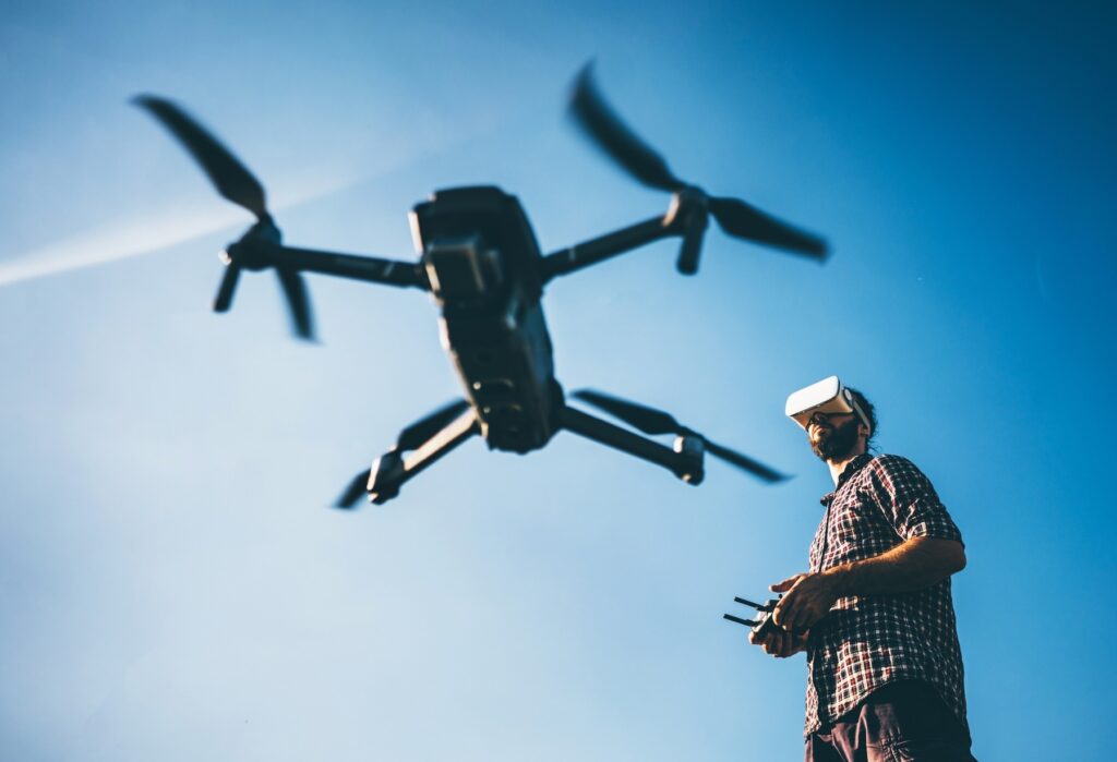
Disaster assessment drones provide fast aerial monitoring during floods, fires, storms, and emergency situations. They capture real-time visuals of affected areas to identify damage, risks, and blocked access routes. High-resolution imaging helps teams assess conditions quickly and safely. This improves response planning and supports faster decision-making during critical events.
With advanced drone technology, disaster monitoring becomes more efficient and reliable. Drones can access hazardous or hard-to-reach locations without putting responders at risk. Real-time aerial data helps track changing conditions and support recovery efforts. These solutions improve emergency response, damage evaluation, and long-term disaster management.