Click on the Edit Content button to edit/add the content.

Survey & Mapping Drones

Mapping Drone Solutions

Built For Accurate Surveying

Mapping Camera – 45 MP

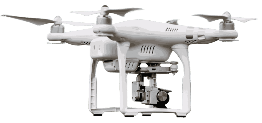
Capture high-resolution aerial imagery designed for detailed geographic analysis and surveying.

Precision GPS Mapping

Advanced navigation systems ensure accurate positioning and reliable survey data.

Extended Survey Flight – 48 min

Long flight endurance supports efficient mapping across large land areas.

Wide Terrain Coverage – 16 km

Survey expansive locations with stable flight control and extended range.

Survey Drone Technology

Designed For Accurate Mapping

Precision Data From Above

Survey and mapping drones are developed to capture detailed aerial information for land measurement, terrain analysis, and infrastructure planning. These drones provide fast and accurate data collection compared to traditional surveying methods.

High-Precision GPS

Ensures accurate positioning for mapping and survey missions.

Terrain Data Collection

Captures detailed surface information for analysis and planning.

Large Area Coverage

Efficiently surveys wide landscapes within fewer flight sessions.

Geospatial Imaging

Provides clear aerial visuals for measurement and documentation.

Mapping Flight Experience

Survey Smarter From Above

Transform Data Into Clear Insights

Survey and mapping drones simplify complex land analysis by delivering accurate aerial visuals and geospatial information. Every mission is designed to provide detailed terrain understanding with speed and efficiency.

From infrastructure planning to environmental monitoring, these drones help professionals gather reliable data that improves project planning and operational decisions.

Aerial Shots Captured
0 K+
Hours of Flight Time
0 K+