Click on the Edit Content button to edit/add the content.

Land Survey & Analysis

Professional Drone Service

Precision Land Survey Solutions

Accurate Land Surveying with Drone Technology

Land survey and analysis services use advanced drone technology to capture precise aerial data for mapping and site evaluation. Drones provide detailed topographic information, land measurements, and terrain analysis with high accuracy. This helps professionals make informed decisions for planning, development, and construction projects.

Drone-based land surveys are faster and more efficient than traditional surveying methods. High-resolution imaging and data collection allow for accurate site assessment while reducing time and labor costs. These services are ideal for infrastructure planning, land development, agriculture, and environmental analysis.


Create impact through elevated visual perspectives.

Key Benefits of Land Survey & Analysis

Accurate Mapping

Capture precise land measurements and terrain details efficiently.

Fast Site Analysis

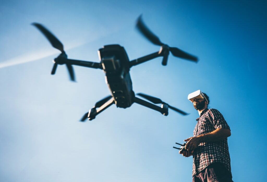
Survey large areas quickly with aerial data collection.

Detailed Terrain Insights

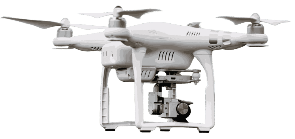
Generate high-resolution data for land planning and evaluation.

Better Project Planning

Support construction, agriculture, and infrastructure development.

Drone land survey and analysis services provide accurate aerial mapping for faster site evaluation and planning.

Capture Beyond Limits

Smart Land Surveying with Aerial Precision

Land survey and analysis services use drone technology to capture detailed aerial data for accurate site mapping and evaluation. Drones can quickly scan large areas, providing precise measurements and terrain insights for planning and development. This improves efficiency while reducing the time required for traditional surveying methods.

Drone-based land analysis helps professionals make informed decisions with reliable geographic and topographic information. High-resolution imagery supports construction planning, land assessment, and environmental studies. These services offer a faster, safer, and more cost-effective solution for surveying projects of all sizes.