Click on the Edit Content button to edit/add the content.
Environmental Monitoring
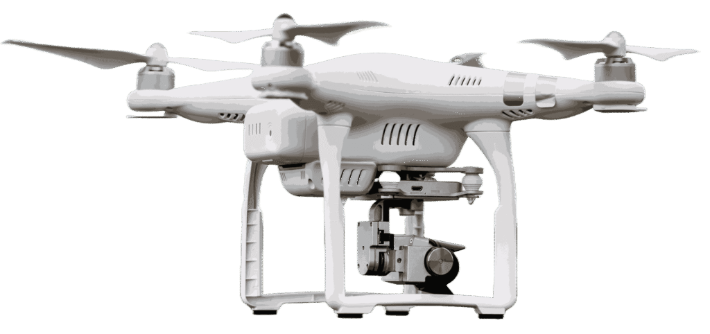
Professional Drone Service
Smart Environmental Monitoring
Precision Environmental Monitoring with Advanced Drone Technology
Environmental monitoring drones help track land conditions, vegetation, water bodies, and environmental changes with accurate aerial data. Equipped with advanced sensors and imaging technology, drones can quickly survey large natural areas and identify pollution, erosion, or habitat changes. This supports faster analysis and better environmental planning.
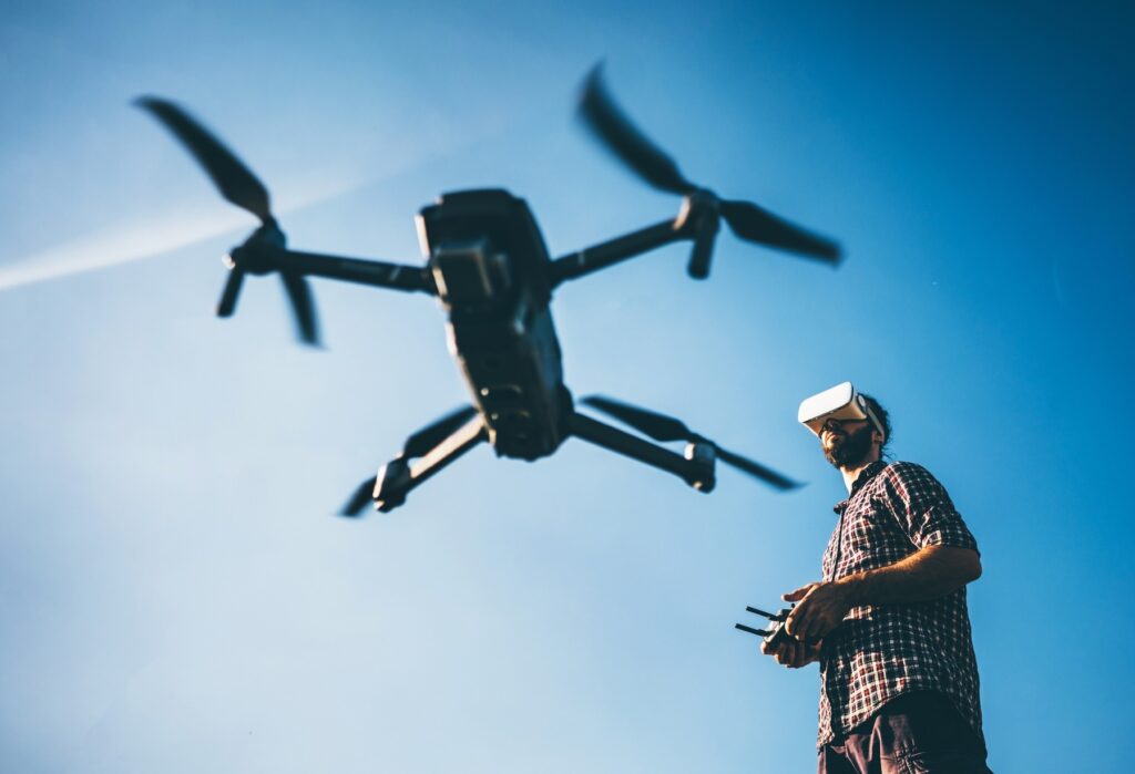
By using drone-based monitoring, organizations can collect real-time data while reducing manual fieldwork. Drones provide detailed insights for conservation, land management, and environmental research. These services help improve monitoring efficiency, support sustainable practices, and enable informed decision-making for long-term environmental protection.
Advanced Drone Solutions for Environmental Monitoring
Environmental monitoring drones provide accurate aerial data for tracking land, water, vegetation, and natural habitats. They help identify environmental changes, pollution, erosion, and vegetation health across large areas. High-resolution imaging supports better analysis and planning for conservation efforts. This improves monitoring efficiency while reducing manual fieldwork.
With advanced drone technology, environmental surveys become faster and more detailed. Drones can access remote or difficult terrains with ease, capturing real-time data from multiple perspectives. These insights support research, land management, and sustainable environmental practices. Drone monitoring helps organizations make informed decisions for long-term environmental protection.