Click on the Edit Content button to edit/add the content.
Environmental Monitoring Projects
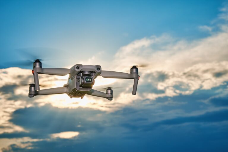
Drone Environmental Monitoring
Environmental monitoring projects use drone technology to collect accurate aerial data for land, water, vegetation, and ecosystem analysis. Drones help monitor environmental conditions across large areas quickly and efficiently. High-resolution imagery supports tracking changes in landscapes, identifying environmental risks, and improving conservation planning.
Drone-based monitoring reduces manual surveying while providing real-time insights for environmental assessments. These projects support pollution tracking, vegetation analysis, wildlife observation, and natural resource management. Drone technology helps organizations gather reliable data for better environmental planning and sustainable decision-making.
Environmental Monitoring Projects
Resource Monitoring
Track water bodies, natural resources, ecosystem conditions, and environmental impact efficiently.
Land Analysis
Monitor land conditions, vegetation health, environmental patterns, and landscape changes accurately.
Data Collection
Capture aerial data for conservation planning, habitat analysis, and sustainable monitoring.
Choosing the Right Drone for Your Needs
Smart Environmental Monitoring Solutions
Environmental monitoring projects use drone technology to capture accurate aerial data for land assessment, vegetation analysis, and ecosystem observation. Drones help monitor environmental changes across large areas with speed and efficiency. High-resolution imagery supports better tracking of natural resources, landscape conditions, and environmental patterns.
Drone-based monitoring improves data collection while reducing the time and effort required for manual surveys. These projects support pollution tracking, habitat analysis, water monitoring, and conservation planning. Environmental drone solutions provide valuable insights that help organizations make informed decisions for sustainable management and long-term environmental protection.