Click on the Edit Content button to edit/add the content.
Remote Site Monitoring Solutions
Smart Monitoring for Remote Locations
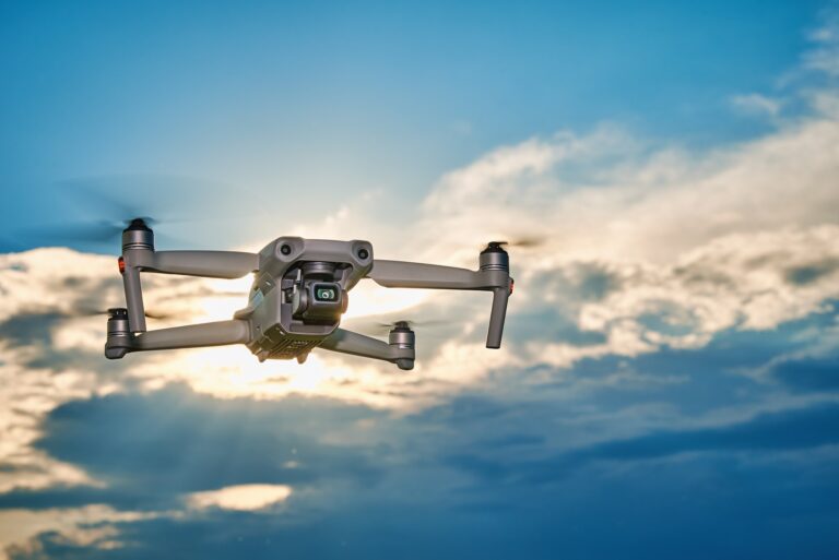
Remote site monitoring solutions use drone technology to provide continuous visibility across isolated or hard-to-access areas. Drones capture real-time aerial data that helps monitor site activity, infrastructure conditions, and environmental changes. These solutions are widely used in construction, mining, energy, and industrial operations where regular on-site monitoring can be challenging. Drone monitoring helps maintain awareness of large sites without requiring constant physical presence. This improves operational oversight while reducing travel time and manual inspection effort.
Drone-based monitoring improves operational awareness by reducing the need for frequent manual inspections. High-resolution imagery and live aerial coverage help teams track progress, identify issues early, and maintain better control over remote locations. These solutions support safer operations, faster reporting, and more efficient site management across large or distant environments. Advanced aerial monitoring also helps improve decision-making through accurate visual data and real-time updates. Remote monitoring solutions provide reliable support for long-term project management and site security.
Core Solution Advantages
Improve monitoring and operational efficiency.
Capture accurate aerial data quickly.
Reduce manual effort and risk.
Support faster project decisions.
Monitor large areas efficiently.
Enhance planning and management.
Advanced Remote Site Monitoring Solutions
Remote site monitoring solutions help businesses maintain visibility across distant or difficult-to-access locations through drone technology. Drones capture aerial imagery, live visuals, and site data that support monitoring of infrastructure, equipment, and environmental conditions. These solutions improve awareness while reducing the need for constant on-site presence. Remote monitoring is widely used in construction, mining, energy, and industrial sectors.
Drone-based monitoring allows teams to track progress, detect issues early, and improve operational control across large areas. High-resolution aerial coverage supports faster reporting, safer inspections, and efficient site management. These solutions reduce manual effort while providing accurate updates from remote environments. Remote monitoring helps organizations maintain productivity and make informed decisions through reliable aerial insights.