Click on the Edit Content button to edit/add the content.
Disaster Response Solutions
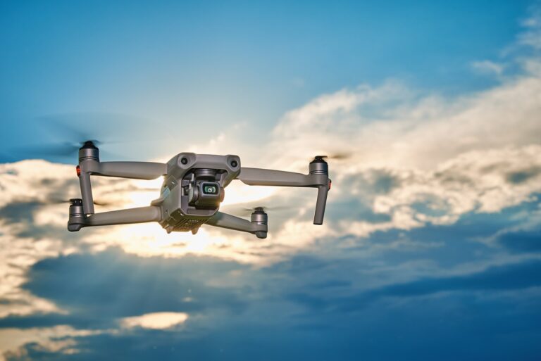
Rapid Disaster Response Support
Disaster response solutions help provide quick aerial assessment during emergencies by capturing real-time visuals of affected areas. Drones support rescue operations, damage inspection, and situational awareness while improving response speed in challenging environments. Their ability to access remote or unsafe locations makes disaster management more efficient and reliable.
Using drone technology during disaster response also supports better planning and coordination for recovery efforts. Aerial mapping and live monitoring help identify damaged infrastructure, blocked access routes, and high-risk zones. These insights assist emergency teams in making informed decisions while improving safety and reducing operational delays.
Core Solution Advantages
Improve monitoring and operational efficiency.
Capture accurate aerial data quickly.
Reduce manual effort and risk.
Support faster project decisions.
Monitor large areas efficiently.
Enhance planning and management.
Choosing Environmental Monitoring Solutions
Environmental monitoring solutions help collect accurate aerial data for tracking land conditions, vegetation health, water quality, and environmental changes across different landscapes. Drone technology allows faster coverage of large areas while capturing high-resolution imagery that supports research, conservation, and resource management. These monitoring methods improve visibility in remote or difficult-to-access locations.
Using environmental monitoring solutions also supports long-term planning through regular data collection and site analysis. Drones assist in identifying erosion, flooding, habitat changes, and pollution impact with greater efficiency than traditional surveys. Reliable aerial insights help organizations make informed decisions for sustainability, land management, and environmental protection efforts.