Click on the Edit Content button to edit/add the content.
Traffic Monitoring Solutions
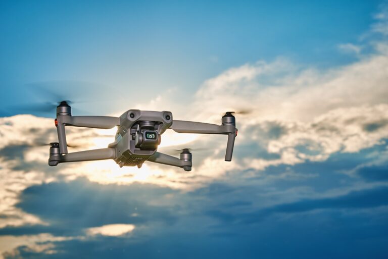
Advanced Traffic Monitoring Solutions
Traffic monitoring solutions use drone technology to provide real-time aerial visibility of roads, highways, and urban traffic conditions. Drones help monitor vehicle movement, identify congestion, and track traffic flow across large areas more efficiently than traditional ground observation. These aerial insights support better traffic planning and improved road management.
Drone-based traffic monitoring also assists in incident detection, route analysis, and public safety management. High-resolution aerial data helps authorities assess accident locations, monitor peak traffic periods, and improve response coordination. These solutions enhance transportation planning while supporting smoother traffic operations and more informed infrastructure decisions.
Core Solution Advantages
Improve monitoring and operational efficiency.
Capture accurate aerial data quickly.
Reduce manual effort and risk.
Support faster project decisions.
Monitor large areas efficiently.
Enhance planning and management.
Why Choose Traffic Monitoring Solutions
Traffic monitoring solutions provide a faster and more efficient way to observe road conditions, vehicle movement, and congestion across large areas. Drone technology delivers real-time aerial visibility that helps identify traffic patterns, crowded routes, and potential disruptions without relying solely on ground-based monitoring systems. This improves traffic analysis and supports quicker operational decisions.
Choosing drone-based traffic monitoring solutions also enhances public safety and transportation management. Aerial data helps detect accidents, monitor road activity, and support emergency response coordination. These solutions reduce manual monitoring effort while improving route planning, traffic control, and overall efficiency for urban and highway transportation systems.