Click on the Edit Content button to edit/add the content.
Mining & Quarry Mapping
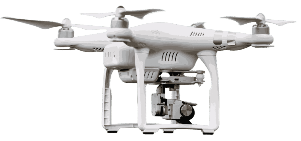
Professional Drone Service
Smart Mining & Quarry Mapping
Accurate Mining & Quarry Mapping Solutions
Mining and quarry mapping services use drone technology to capture precise aerial data for site analysis and resource planning. Drones provide detailed terrain mapping, volume calculations, and excavation monitoring with high accuracy. This helps operators improve planning, track site progress, and manage operations efficiently.
Drone-based mapping reduces survey time while improving safety in large or hazardous mining environments. High-resolution aerial imaging supports better decision-making for excavation, stockpile measurement, and land assessment. These services are ideal for mining companies, quarry operations, and infrastructure development projects.
Mining and quarry mapping services use drone technology to capture detailed aerial data for accurate site analysis and planning. Drones provide high-resolution terrain mapping, stockpile measurement, and excavation tracking with precision. This helps operators monitor site conditions and improve resource management.
Drone-based mapping improves efficiency by covering large mining areas quickly and safely. Accurate aerial data supports better planning, volume calculations, and operational monitoring. These services are ideal for quarry management, mining surveys, and land development projects.