
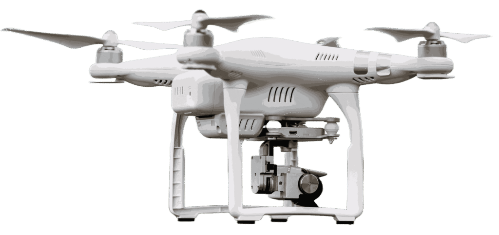
Capture clear aerial visuals for monitoring large spaces and security-sensitive environments.

Automatically follow movement and monitor activity with smart tracking technology.

Long-duration flight supports continuous monitoring across wide locations.

Maintain stable control and reliable surveillance coverage across large areas.
Security and surveillance drones are designed to monitor large environments with speed, flexibility, and aerial visibility. These drones help improve site awareness while providing continuous observation across industrial, commercial, and public areas.

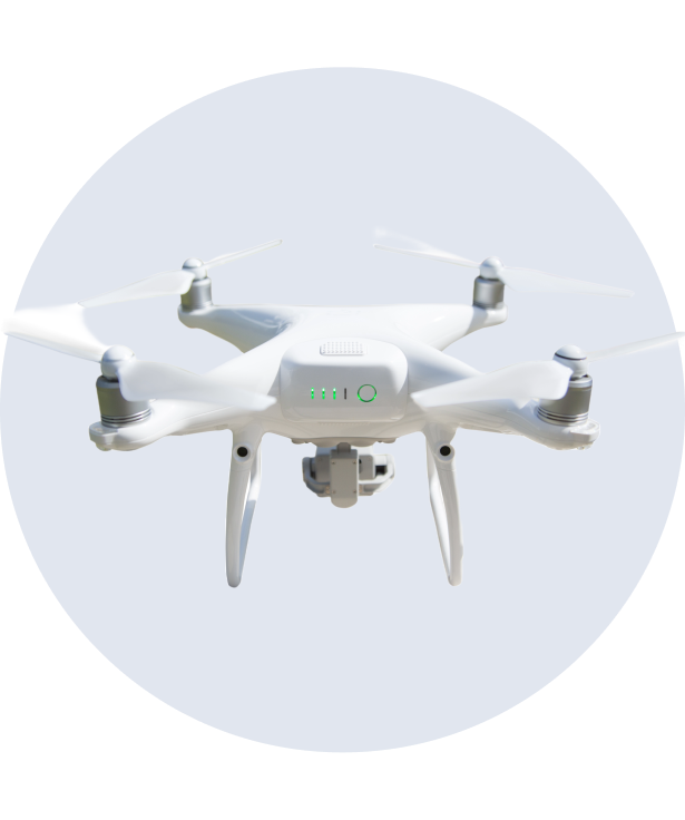
Provides real-time visibility for active surveillance operations.

Automatically follows movement for improved observation accuracy.

Monitors large properties and open spaces efficiently.

Maintains smooth aerial positioning during surveillance missions.
Survey and mapping drones simplify complex land analysis by delivering accurate aerial visuals and geospatial information. Every mission is designed to provide detailed terrain understanding with speed and efficiency.
From infrastructure planning to environmental monitoring, these drones help professionals gather reliable data that improves project planning and operational decisions.